Top news >


Advertisement
most read

Local & Regional
Local & Regional

Local & Regional


Sports >
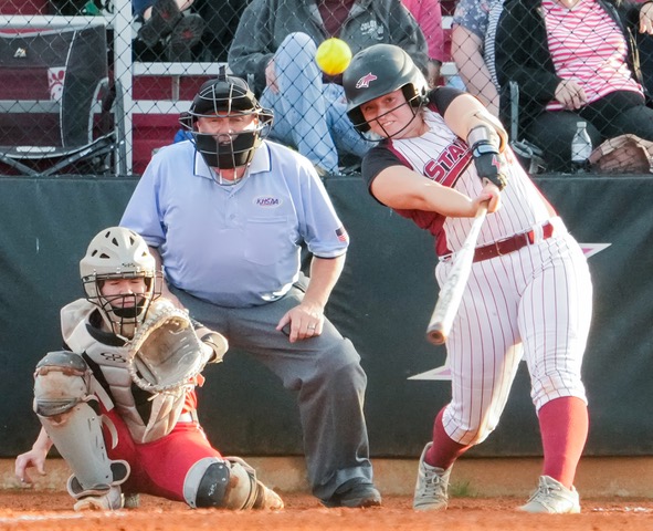
Thursday's high school sports scores
6 hours ago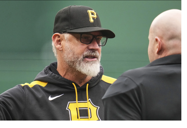
Pittsburgh's Shelton first manager fired this season
11 hours ago