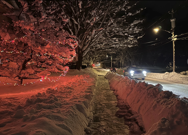
An arctic blast is bringing extreme cold, heavy snow and intense wind across much of the U.S. this week — just in time for the holidays.
The weather system, which may build into a “bomb cyclone,” is expected to move east in the days leading up to Christmas, disrupting travel and causing hazardous winter conditions. A bomb cyclone is a fast-developing storm in which atmospheric pressure falls very quickly over 24 hours.
These severe weather events usually form over bodies of water, which have lots of warmth and moisture to feed the storm. But with the huge amount of cold air coming through, we could see a rare bomb cyclone forming over land.
Whether this storm technically qualifies as a bomb cyclone depends on how quickly the pressure drops — but either way, the snowfall plus high winds will make for an intense bout of winter weather.
Much of the U.S. will see below-average temperatures through the middle and end of the week, said Bob Oravec, lead forecaster for the National Weather Service in College Park, Maryland.
Temperatures may drop by more than 20 degrees in just a few hours, and with winds also expected to pick up, wind chill temperatures could drop to dangerous lows far below zero — enough to cause frostbite within minutes. In parts of the Plains, the wind chill could dip as low as minus 70 degrees.
Those in the Plains, the Upper Midwest and the Great Lakes should expect blizzard conditions as heavy winds whip up the snow. Pretty much everyone east of the Rockies — around two-thirds of the country — will see extreme weather in the coming days, said Ryan Maue, a private meteorologist in the Atlanta area.
The Arctic front is expected to pass east and south all the way through Florida.
As for the snow, those in the Midwest will probably see a “heck of a storm,” though blizzard conditions aren’t expected to hit the East Coast. Some spots around the Great Lakes may see upwards of a foot of snow by Friday.
Airports in the Midwest, including the travel hub of Chicago, will likely face shutdowns as the blizzard comes through later in the week.
The cold isn’t going to stick around for long. After the dramatic plunge that will keep temperatures low for about a week, “everything will snap back to normal,” Cohen said.
Shortly after Christmas, temperatures will start to warm up again, moving from west to east. They are likely to remain near normal through the end of the year in most of the U.S.
The U.S. probably won’t reach record-breaking lows, like those seen in the cold snap of 1983 or the polar vortex of 2014. Still, “for most people alive, this will be a memorable, top-10 extreme cold event,” Maue said.
(AP file photo)
Advertisement
Arctic blast could become rare "bomb cyclone" with blizzard conditions
Advertisement
Latest State & National
State & National
10 hours ago
State & National
13 hours ago
State & National
yesterday
State & National
Dec. 02, 2024
State & National
Dec. 02, 2024
ADVERTISEMENT
Most Read >
ADVERTISEMENT
Latest State & National
State & National
10 hours ago
State & National
13 hours ago
State & National
yesterday
State & National
Dec. 02, 2024
State & National
Dec. 02, 2024
Advertisement
ADVERTISEMENT


