
Just as we wrap up the wind and rain from the past few days, the National Weather Service in Paducah says we're in for an instant replay of that storm on Friday. And, that's just a prelude to dangerous cold and even possible snow next week.
A rumble of thunder could usher in another round of rain Thursday night into Friday. Widespread 1 to 2
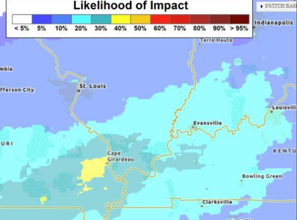
inch rain amounts are forecast and localized higher rain amounts enhanced by potential thunderstorms are possible. This rainfall, coming after our recent widespread 1 to 2 inch rainfall, will be largely beneficial but may result in some flooding issues for roads or areas prone to flooding.
The other weather that really cranks up Friday will be winds and wind gusts. Peak gusts Friday afternoon and evening may approach 50 mph as the forecast stands right now. A marginal risk of severe storms exists, and while the risk is low, it may heighten damaging wind gust potential. As grounds become well saturated again, these high gusts may be able to down some trees or power lines.
Colder and drier air fills in Saturday with a low in the teens Saturday night, then a Siberian air mass pushes temperatures down to single digits by Monday morning, and even near zero Tuesday morning. Winds will continue to gust over 20 miles per hour, which will drive wind chills to dangerous levels around -20 or colder beginning Sunday night.
Overall, temperatures are expected to stay below freezing for at least four days next week.
There's also a chance for snow working its way into the forecast for Sunday and Monday. As of now, there's high confidence in the very cold temperatures, but lower confidence on how much accumulating snow may occur. There is a chance of accumulating snow, but the varying tracks of the modeled snow bands inhibit forecasting specific amounts and locations for now.
Advertisement
Dangerous cold on tap next week with possible snow accumulation
Advertisement
Latest Local & Regional
Local & Regional
9 hours ago

Local & Regional
16 hours ago

Local & Regional
16 hours ago

Local & Regional
16 hours ago

Local & Regional
17 hours ago

ADVERTISEMENT
Most Read >
ADVERTISEMENT
Latest Local & Regional
Local & Regional
9 hours ago
Local & Regional
16 hours ago
Local & Regional
16 hours ago
Local & Regional
16 hours ago
Local & Regional
17 hours ago
Advertisement
ADVERTISEMENT