
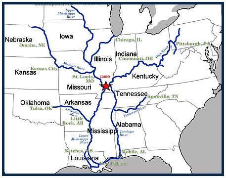
Widespread two- to four-inch rains cut a wet swath across southern Illinois into the Pennyrile region of Kentucky on Friday. Radar-indicated totals of 4 to 5 inches or more were reported in southern Illinois from Marion to Shawneetown. The same torrential band extended into Crittenden, Webster, and Muhlenberg counties in Kentucky. Isolated locations over 4 inches were also indicated in Hickman County.
Most of the rest of the counties in western Kentucky and southern Illinois commonly had totals of two to four inches indicated by radar.
It is important to note that although most rivers and streams have fallen below flood stage in recent days, the latest round of heavy rainfall will likely bring many of them back into flood stage within the next week. Water could also rise again over many flood-prone roads.
A flood watch means there is a potential for flooding based on current forecasts. You should monitor later forecasts and be alert for possible flood warnings. Those living in areas prone to flooding should be prepared to take action should flooding develop.
On the Net:
Paducah Weather Service webpage

.jpg)
.jpg)